This image was taken last night at around 9:55 in the Bellevue area by Clarence Bennett who caught this AMAZING lightning strike as storms where moving through the region! We could see more of this activity later on today as well. In the form of MANY Special Weather Statments, Severe T'storm Warnings and maybe wind damage.
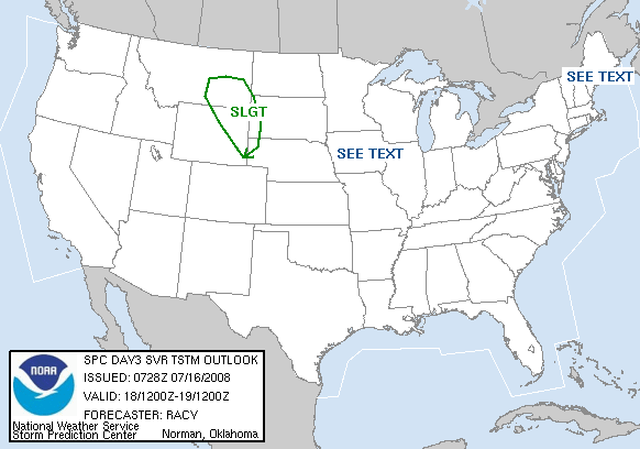
 Here's the SPC's take on the severe risk areas today and we are right, again, in the "See Text" region. My thinking is that the areas who will most likely see the stormy action, will be the areas south of I-40. We won't see much in the way of severe weather up here, due to the fact of this morning rain stabilizing the atmosphere and it won't have time to recover for this afternoon's event. Here's today's forecasted high's, as well as the rain chances for this afternoon.
Nashville: mid to upper 80's!; 60% chance this afternoon
Clarksville: mid 80's; 50% chance
Cookeville: low to mid 80's; 60% chance
Columbia: upper 80's; 60% chance
Manchester: upper 80's; 70% chance


 I came by this while looking at the weatherundergroud radar, and as you can tell, the radar was picking up a Tornado Vortex signature at around 10:22 for Western Wilson County (Mt. Juliet area). I don't know why it picked it up, but it sure did. I thought I might need to share that with you guys.
 CONCERNING...SEVERE POTENTIAL...WATCH UNLIKELY

 Now this photo is pretty amazing. As you can see, there's a cloud or fog mist right in between her house and the neighbors house. But the cool thing is, is that it looks to be forming. You can't really tell by a picture, but she believes from capturing it on camera and watching it, it was forming right above her. Cool! Thanks Monica for sharing these photos with us here in TN. I have more photos that I will continue to share with you later on this week.