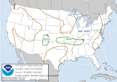
 We will have to watch for later development this afternoon and later this evening for a possible MCS moving across this region bringing with it the chance at scattered wind damage potential.
Subscribe to:
Post Comments (Atom)
Forecasting the weather for the Highland Rim, Middle TN, and South Central KY regions.
No comments:
Post a Comment